Over Memorial Day Weekend I desperately needed a rocks and hiking fix, so off I went to the South Cumberland State Recreation Area near Tracy City, Tennessee, with a stop by Nashville to reunite with college friends and frolic through the Tennessee Renaissance Festival. The area that includes the South Cumberland State Recreation Area falls geographically into the southern extent of the Cumberland Plateau that I explored last summer at the Red River Gorge, with steep gorges and rocky streams. Compared with the Red River Gorge, the geological layers in the Fiery Gizzard area of the South Cumberland plateau (especially the resistant sandstone cap) are thinner and don’t encourage the formation of such massive cliffs, but still create a wonderful landscape.
The trail goes from this….

Miniature waterfalls at the Grundy Day Loop
… to this.
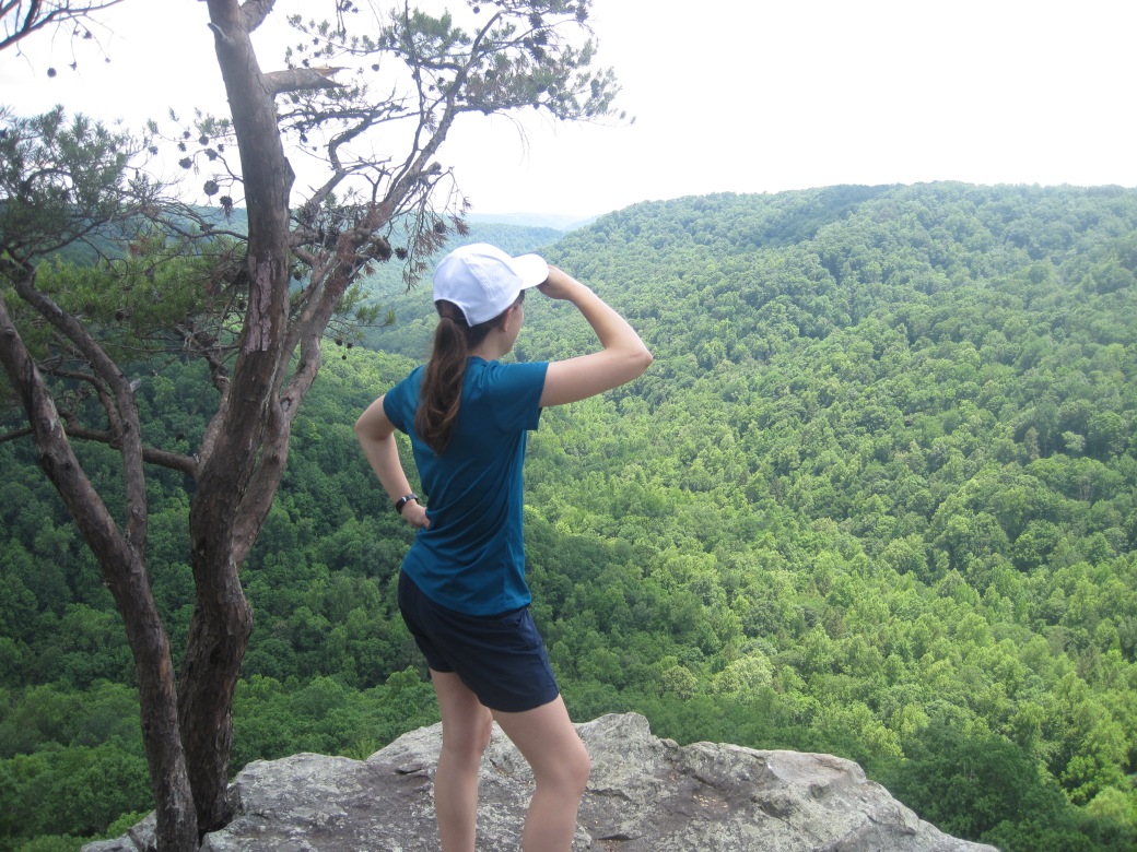
The view from Raven Point
I was too busy hauling my self around 10.4 miles of trails to do any serious geologizing, but would love to come back and explore in earnest. The trail wound past shale, sandstone stacks, fossils, karst formations, waterfalls, and a coal mine too!

Deformed shale layers above Sycamore Falls
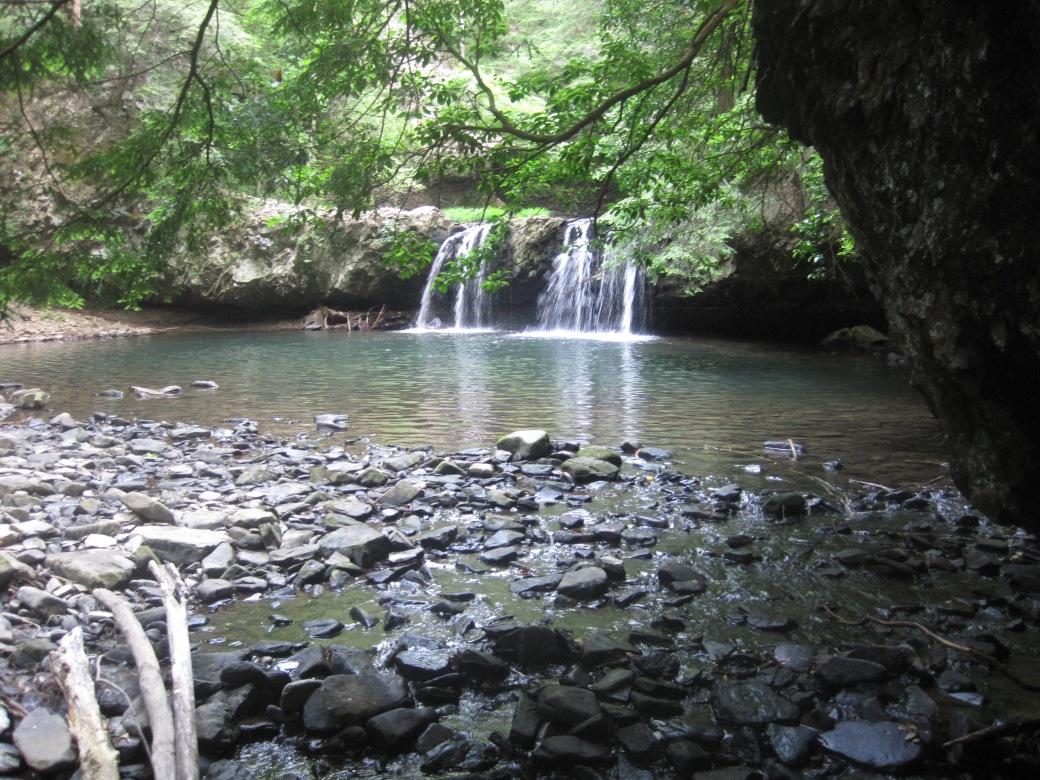
Sycamore Falls, with a perfect swimming hole underneath it.

Fiery Gizzard Creek escapes from view below a limestone layer just before the trail starts to climb to Raven Point, and reappears about 200 yards later.

Archimedes bryozoans, crinoid fragments, and brachiopods on the steep climb up to Raven Point. I was definitely ready for the excuse to stop and gawk for a bit.

The mountain laurel bushes were absolutely heavenly!

The Dog Hole Mine at the junction of the Fiery Gizzard and Dog Hole trails is so small that I can’t imagine anyone wanting to go into it – the seam is barely three feet tall.

There’s nothing better than putting my feet in a creek and my nose in a book at the end of a long day of hiking! I spent a lovely half-hour exploring the history of Nepal with Jeremy Bernstein before the light started to disappear from the bottom of the gorge.


Pingback: Road Trip Part 1: Why are the high plains so flat?! | Blue Marble Earth